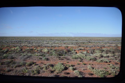
Our approach, however, differed, and we seemed to be skirting around any falling wetness. The scattered green pick on dry earth, however, suggested that we might have been a tad late.
Extensive patches of significant erosion suggested when moisture did condescend to condense, it took its share of dirt with it.
I spotted dams, obviously man-made which, although dry, were there to capture runoff with raised walls and what looked like contour ploughing or a near relative thereof.
From that, it was apparent the land was being used.
Presumably, exploitation equated to grazing since I wasn't sure where we were in relation to Goyder’s Line.
I noticed a homestead where the machinery included something that looked like a device used for cultivating the soil.
However, it was impossible to determine whether the item in question was a working device rather than a surviving relic of earlier endeavours.
Crossing a bitumen road where the tarmac was still wet about ten minutes out of Peterborough, it was apparent we were into country that had, at some point in the recent past, been cultivated. In some places, the track-side reservoirs had already started filling with runoff.