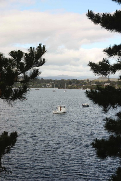
The region continues to provide timber for paper and saw milling industries, and there has been the predictable argy-bargy between environmental groups and the timber industry when it comes to logging old growth forests.
You can see where both sides are coming from, of course, but hopefully developments in the realm of aquaculture will see forestry take a back seat. Fishing vessels from the port head out to the waters around South East Cape and Port Davey to fish for abalone and crayfish, and the waters of Port Esperance have attracted a number of Atlantic Salmon farms which, along with a TasSal processing plant employ large numbers of locals. Most of the product is, of course, exported to interstate and Asian markets.
The road out of Dover took us past the local pub, damaged by fire and under reconstruction, towards the top of Port Esperance, where the Esperance River flows into the bay at Raminea, a township that apparently grew up around a sawmill. Coal as apparently mined at some point just down the road in Strathblane, and from there the road departs from the coastline, running not quite straight to Southport, which sits a couple of kilometres off the highway on a bay Bruni D’Entrecasteaux dubbed Baie des Moules (Mussel Bay) in 1792.
Whalers, sealers and runaway convicts were the first European inhabitants, with sixteen whaling stations down around Recherche Bay. Southport became the administrative hub of the entire region south of Hobart following the earliest land grant in the area at Hythe in 1822, with a Police Magistrate and troopers from 1837. The locality served as a Probation Station for convicts through the 1840s, but free settlers started to take over from the early 1850’s as timber leases became available and mill towns emerged at Lune River, as well as Ramsgate (Cockle Creek) and Leprena on Recherche Bay.