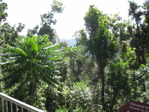
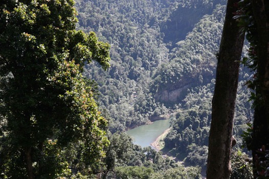
 That's obvious from the time you read one of the plaques on The Cantilever, preferably after you've been all the way out to get the view over the curve of the South Johnstone River overlooked by The Cantilever. Once you've been out, taken your photos and taken in the green panorama is the time to read the screed that explains that movement \you felt underfoot stems from the fact that the viewing platform isn't held up by vertical posts, but is supported by a cantilever arrangement with its foundations in the adjacent hillside. Less disturbance to the forest floor that way, compris?

It's also at this point that you appreciate the location of the whole thing. You're on the upper slopes of the escarpment that runs down to the South Johnstone, with the walking track running along an old timber trail. The steepness of the slope down to the river means you don't have to go out too far to get to a point where you’re effectively right out there in the treetops, and The Walkway gives you more panoramic vistas over the river valley on one side and a chance to get reasonably up close and personal with the bits of the trees you can't get to from the ground unless you're a tree kangaroo.
And if you're still inclined to quibble about the twenty bucks, take yourself out for a three hundred and fifty metre walk, preferably in a straight line where you can see the starting point. Take a gander back to where you started and there’s the length of The Walkway. There are round viewing platforms at not quite regular intervals, and the structure follows the contours, so you're not talking a straight line (nature rarely does straight lines, and on the rare occasions when she does, it's not likely to be in a rainforest in a cyclone prone area.